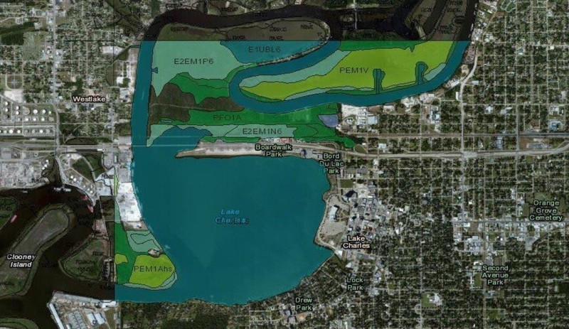
GIS Analysis and Modeling of Environmental Data

EcoGENESIS implements the latest Geospatial technologies to interpret and determine land suitability analysis, spatial modeling, wetland delineation and impact analysis, natural resource assessment,monitoring data collection and or listed species surveying. We have ESRI ARCGIS software and submeter Trimble GPS capabilities for mapping and spatial data collection requiring submeter accuracy. Our Principal has graduate training in the application of GIS to solve natural resources planning problems, and regularly uses GIS analysis and tools for the feasibility evaluation of mitigation in locating suitable wetland mitigation or conservation sites and reference areas. We have fingertip access to extensive databases of Federal, State and local GIS data, and professional staff and subcontractors with background and training in geographical science that produce high quality GIS analyses, maps and interactive web-based products.
